
Short Inca Trail Trek Km 104
The Km 104 trek is one of the most beautiful ways to reach Machu Picchu on foot, following an emblematic section of the Inca Trail. Shorter than the classic four-day route, it allows you to experience the emotion of the Inca path without such a long physical commitment, while preserving the essentials: Andean landscapes, mountain forest, archaeological remains and a gradual approach to the sacred citadel.
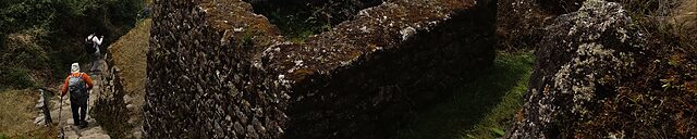
After a train journey through the Urubamba Valley, the walk begins at kilometer 104 of the railway line. The trail then climbs through lush vegetation to the site of Wiñay Wayna, a remarkable complex of terraces, Inca buildings and ceremonial channels clinging to the mountainside.
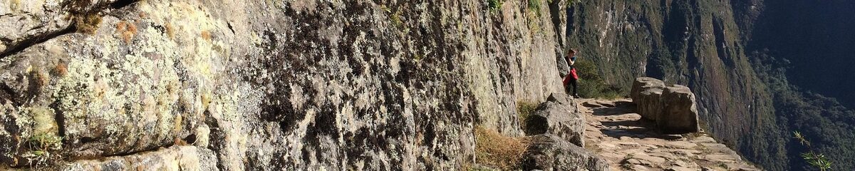
The hike continues towards Inti Punku, the Sun Gate, the ancient ceremonial entrance to Machu Picchu. From this point, the citadel appears for the first time, nestled between mountains and tropical forest. It is one of the great moments of the journey, both intimate and spectacular.
This tour is ideal for travelers who wish to discover the Inca Trail in a short, immersive and accessible version, with one of the most moving arrivals on foot to Machu Picchu in Peru.